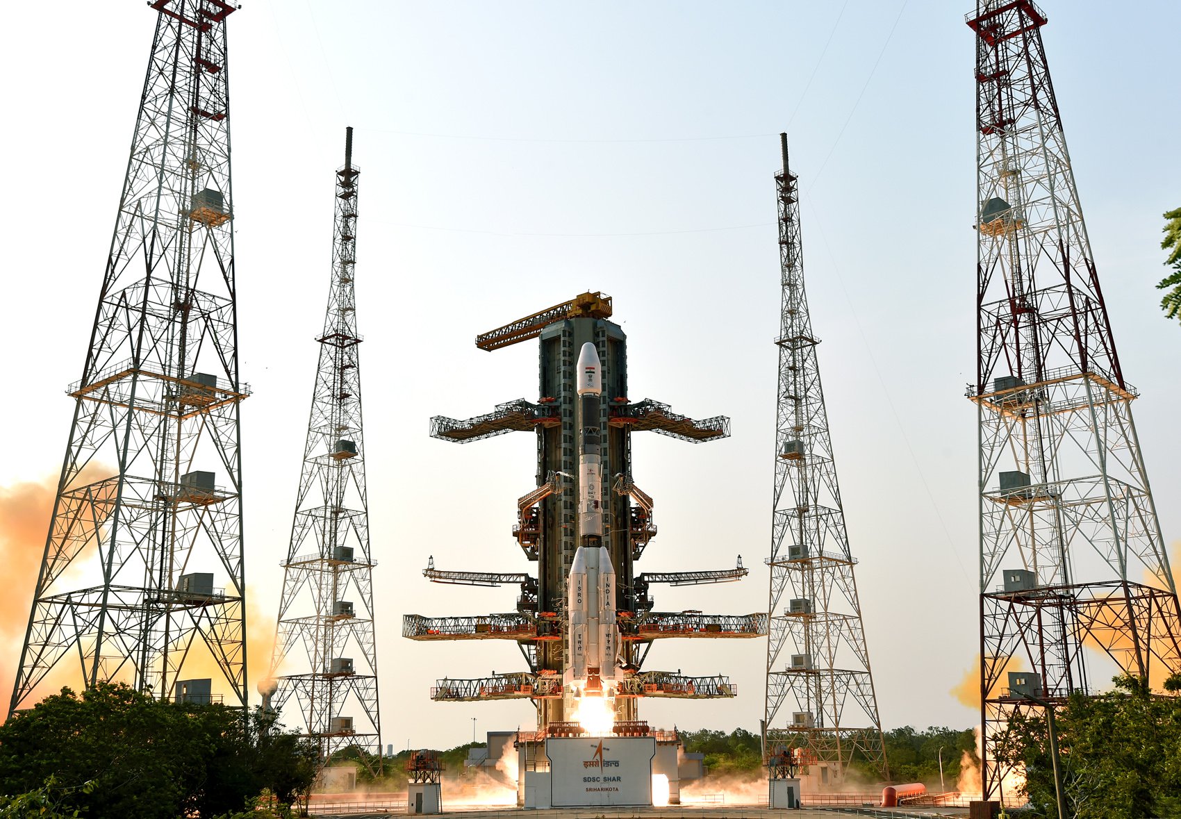
GSLV Mk II | NISAR (NASA-ISRO Synthetic Aperture Radar)
任务详情
The NASA-ISRO Synthetic Aperture Radar, or NISAR satellite, will use advanced radar imaging to map the elevation of Earth's land and ice masses 4 to 6 times a month at resolutions of 5 to 10 meters. It is designed to observe and measure some of the planet's most complex natural processes, including ecosystem disturbances, ice-sheet collapse, and natural hazards such as earthquakes, tsunamis, volcanoes and landslides. Under the terms of the agreement, NASA will provide the mission's L band synthetic aperture radar (SAR), a high-rate telecommunication subsystem for scientific data, GPS receivers, a solid-state recorder, and a payload data subsystem. ISRO will provide the satellite bus, an S band synthetic aperture radar, the launch vehicle, and associated launch services.
运营机构
Indian Space Research Organization
火箭详情
基本信息
| 名称 | GSLV Mk II |
| 全名 | GSLV Mk. II |
| 家族 | GSLV |
| 型号 | |
| 制造商 | 印度空间研究组织 |
规格参数
| 长度 | 49 m |
| 直径 | 2.8 m |
| 最小级数 | 0 |
| 最大级数 | 3 |
| 起飞质量 | 401 t |
| 起飞推力 | 7420 kN |
| LEO运力 | 0 kg |
| GTO运力 | 2500 kg |
| 首飞时间 | 2010-04-15 |
描述
Geosynchronous Satellite Launch Vehicle Mark II (GSLV Mk II) is the largest launch vehicle developed by India, which is currently in operation. This fourth generation launch vehicle is a three stage vehicle with four liquid strap-ons. The indigenously developed cryogenic Upper Stage (CUS), which is flight proven, forms the third stage of GSLV Mk II. From January 2014, the vehicle has achieved four consecutive successes.
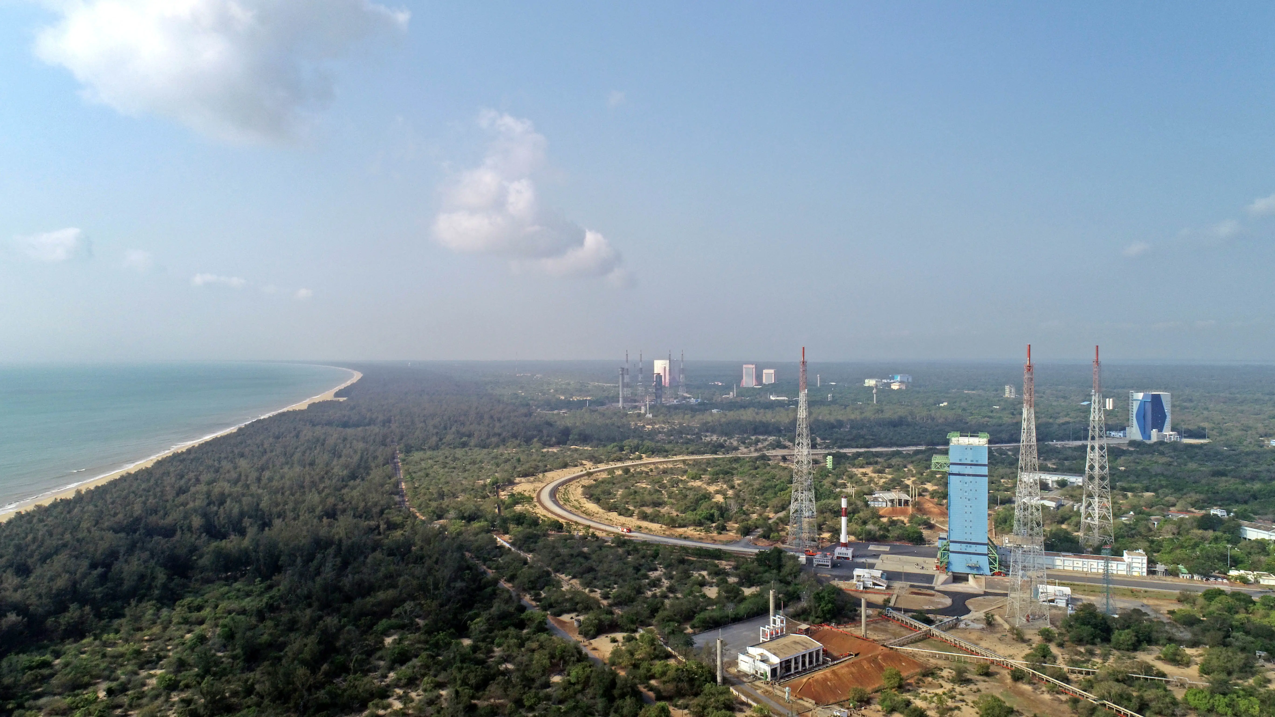
发射场详情
| 发射场名称 | 萨蒂什·达万航天中心,印度 |
| 发射工位 | 萨蒂什·达万航天中心第二发射台 |
| 国家 | India |
| 经纬度 | 13.7199, 80.2304 |